By Maureen Nyambura
What happens when a forest becomes part of a city? In Nairobi, Karura Forest offers an interesting answer.
What if we started looking at forests like Karura not only as conservation areas, but also as critical climate infrastructure for cities?
A Forest Inside Nairobi
On the northern side of Nairobi, surrounded by neighbourhoods, roads and a rapidly growing city, sits Karura Forest.
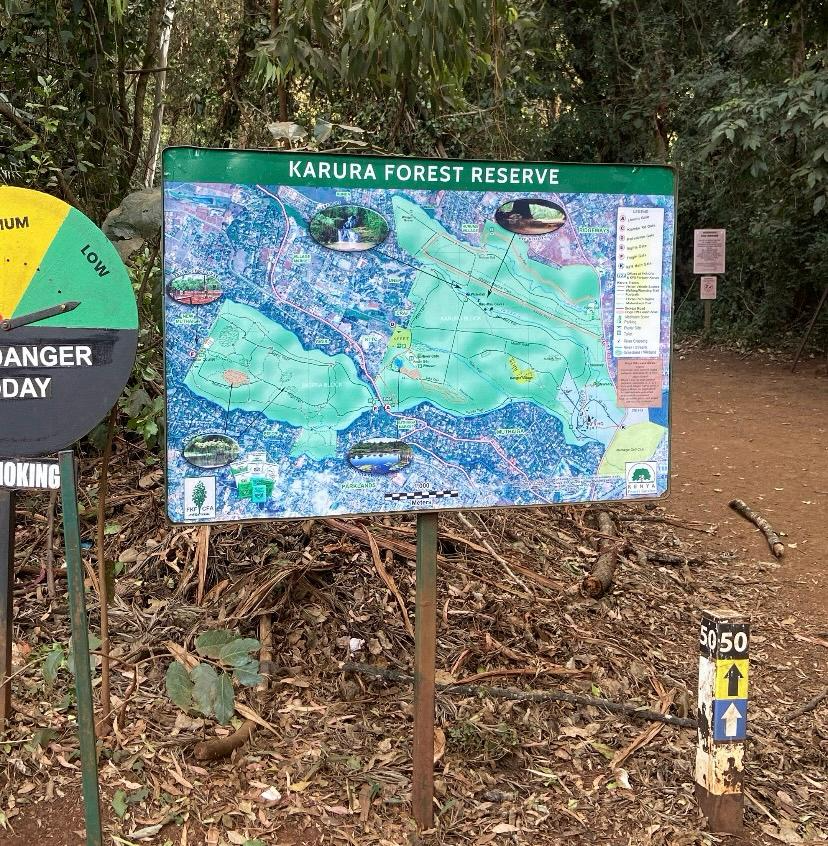
At about 1,041 hectares, Karura Forest Reserve is one of the largest gazetted forests located within a city. It is divided into different sections, including the main Karura and Eastern Salient and the Sigiria section. The forest is only about 6 kilometres from Nairobi’s city centre, which makes its presence particularly interesting from an urban planning perspective.
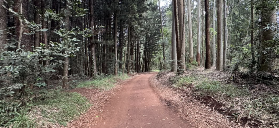
It is easy to forget that you are still in Nairobi when you are under the forest canopy. The traffic and buildings can feel very far away.
It is a real-life example of what green infrastructure can look like within a rapidly growing African city.
Karura Is More Than Just a Forest
Karura is a forest reserve, but for many Nairobi residents it is also a recreational space.
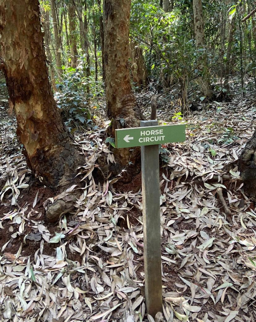
People come here to walk, run, cycle, walk their dogs, ride horses, bird-watch, picnic, play tennis, and simply spend time outdoors. The forest has marked 5 km, 10 km, and 15 km walking and running trails, as well as designated cycling routes. There is also a 12 km northern bike track.
This variety is one of the things that stands out.
And perhaps this is what makes Karura particularly interesting from an urban planning perspective: the forest is not separated from everyday city life. It is part of it.
I am also part of the Global URBAN HEAT Media Lab, where I am interested in exploring how cities in Africa can respond to heat through planning, design, green infrastructure, and better pedestrian environments.
A Long History, And an Important Turning Point
Karura was formally gazetted as a forest reserve in 1932. But its history goes much further back. The forest contains caves and archaeological evidence of human occupation, and some of the caves were later used by Mau Mau freedom fighters during Kenya’s struggle for independence.
The more recent history of Karura is particularly important.
During the 1990s, parts of the forest became threatened by land allocation and proposed development. The struggle to protect Karura became one of Kenya’s most recognised environmental campaigns.
In 1998 and 1999, Professor Wangari Maathai (the first African Woman to win the Nobel Prize) and members of the Green Belt Movement protested against attempts to develop parts of the forest. The protests drew national and international attention and helped turn Karura into a powerful symbol of environmental protection and civic action.
Today, the forest is jointly managed by the Kenya Forest Service and the Friends of Karura Forest Community Forest Association. Friends of Karura was registered in 2009 and has played an important role in forest security, restoration, recreation, and community involvement.
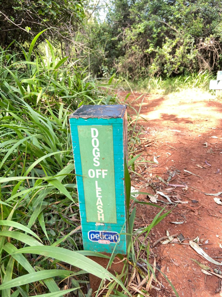
The forest is only about 6 kilometres from Nairobi’s city centre, which makes its presence particularly interesting from an urban planning perspective.
Why am I writing about Karura?
I am an Urban and Environmental Planner based in Nairobi, currently pursuing an M.A. in Urban and Regional Planning at the University of Nairobi.
My work and interests sit around sustainable and inclusive urban development, environmental planning, walkability, green infrastructure, and increasingly, urban heat and climate-responsive cities.
I am also part of the Global URBAN HEAT Media Lab, where I am interested in exploring how cities in Africa can respond to heat through planning, design, green infrastructure, and better pedestrian environments.
That is why Karura caught my attention. It is a real-life example of what green infrastructure can look like within a rapidly growing African city.
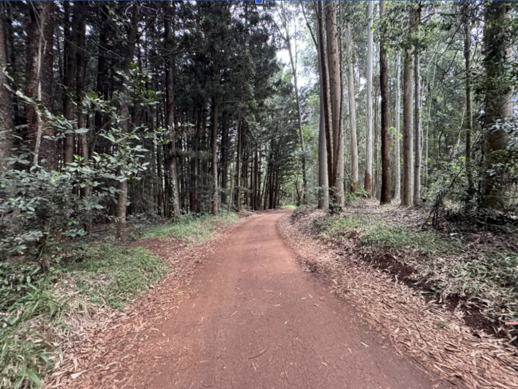
What Can Nairobi Learn From Karura?
Karura also makes me think about the rest of Nairobi.
The city has other parks (including Uhuru Park in the heart of Nairobi CBD), forests, rivers, open spaces and green areas, but many of them face pressure from development, pollution, encroachment, poor maintenance or competing land uses.
The question therefore goes beyond, ‘How do we protect Karura?’
It is also:
How do we create a Nairobi where more people can experience the benefits of nature without having to travel to Karura?
How can we connect green spaces through streets, pedestrian routes, river corridors and neighbourhood parks?
How can trees and vegetation become part of our approach to managing urban heat?
And how can green spaces be planned as infrastructure rather than treated as leftover land?
What if we started looking at forests like Karura not only as conservation areas, but also as critical climate infrastructure for cities?
A sustainable city is not only one with more buildings, roads and infrastructure. It is also one that makes room for trees, nature, people and places to breathe.

Nairobi-based Maureen Nyambura is an Urban Planning Consultant at Kreis Spatial Planning & Consulting and a graduate in Environmental Planning and Management (EPM). She is also certified as a National Environment Management Authority (NEMA) Associate Expert and, through her work, sees how rapid development impacts local urban microclimates. She is interested in how we can use climate-responsive spatial design and green infrastructure to protect pedestrian spaces from rising thermal stress in sub-Saharan African cities.
Read more of Maureen’s content here
This post is part of the Global URBAN HEAT Media Lab.
Read more on the international and interdisciplinary initiative below: