Here at Pedestrian Space, we are interested in dialogue with municipalities around the world with regard to their sustainability goals and urban mobility plans. With that interest in mind, we were glad to have the opportunity to talk with the Office of the Secretariat Deputy Mayor Councilor for Urban Planning about ‘Di nuovo in centro’, a program for a pedestrian-friendly city center in Bologna.
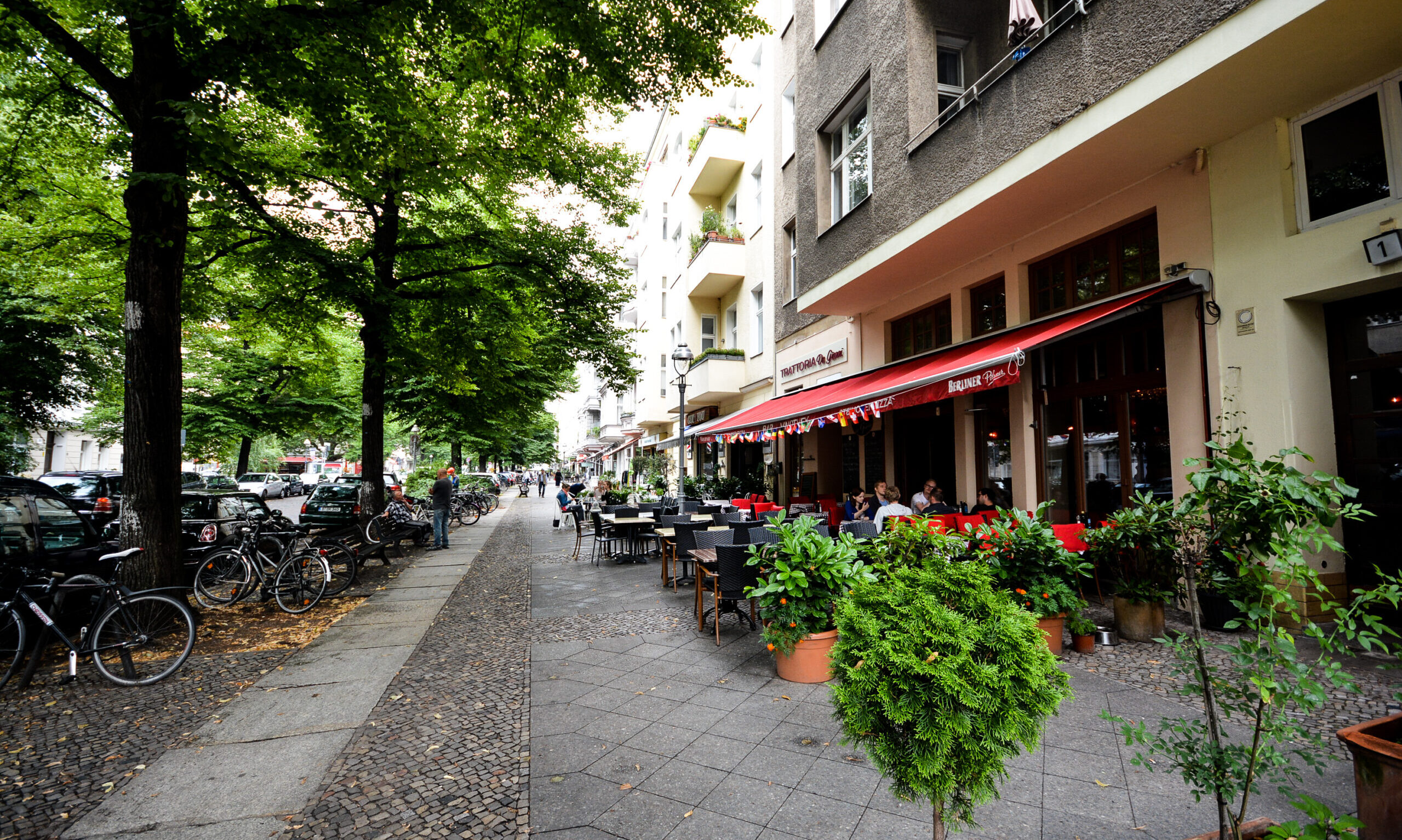
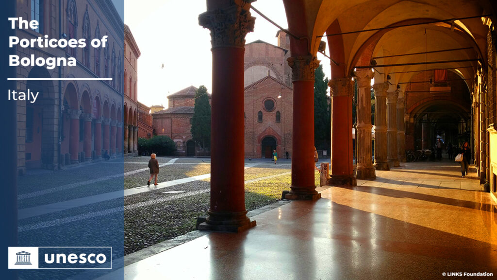
“Pedestrianism is an intrinsic characteristic of Bologna’s urban structure. The presence, unique in Europe, of a kilometric network of porticoed routes naturally predisposes citizens and city users to access the city by foot.”
Interview with the Municipality of Bologna, Office of the Secretariat Deputy Mayor Councilor for Urban Planning.
We are very interested in learning more about ‘Di nuovo in centro’. This program was established in 2014-2015 to promote walkability in the city center. Can you share about the original inspiration to this program?
Bologna is a beautiful city, with a well-preserved historic center, rich in prestigious buildings (out of a total of about 5,400 buildings in the center, about 4,500 are of historic architectural or documentary interest) and unique spaces such as the portico system. The complexity of the usage patterns over time and the particularity of the offer of public open spaces make this part of the city more exposed to problems related to the coexistence of people with different needs.
Therefore, processes are needed that allow the consideration of different interests and the management of inevitable conflicts, to facilitate habitability without damaging the other characteristics of the center. In order to maintain and improve the liveliness of the center of Bologna, innovative and integrated solutions are needed to make the public open space more usable, designing it as a place where different generations and populations can live together, as a place of connection and accessibility (including digital).
The program born to improve the urban and environmental quality of and environmental quality of historical Bologna is necessary to implement integrated policies (mobility, rehabilitation of public spaces, environmental protection, enhancement of activities), encouraging “soft” ways of use based on walking, cycling or public transport, increasing the parking areas for cars and motorbikes in the areas surrounding the center, and finally creating an easily understandable and communicable accessibility system.
“Building upon its long-standing fame as a melting pot, a place where the exchange of ideas is an everyday practice, Bologna can yet be seen as a living research institute where initiatives to help innovative proposals sprout from the bottom and allow citizens to co-create solutions for the city’s challenges.”
Interreg Europe lists the program as a “Good practice“. What are the various successful aspects of the program?
‘Di nuovo in centro‘ is in fact a program for the coordination of integrated policies.
If the primary objective is the rediscovery of pedestrianism, understood as a natural and necessary condition for living well and getting around in the city, the actions to achieve this are manifold. First of all, it is a question of increasing the quality of public space, with measures to improve squares, streets and gardens, regulating their permanent and temporary use. This is accompanied by initiatives to revive responsible behavior, for example by encouraging separate waste collection, and to enhance areas with a strong cultural or commercial vocation and their specific identity and function within the center.
To achieve all this, we need to reduce the impact of cars and mopeds and encourage soft mobility, public transport, car and bike sharing.
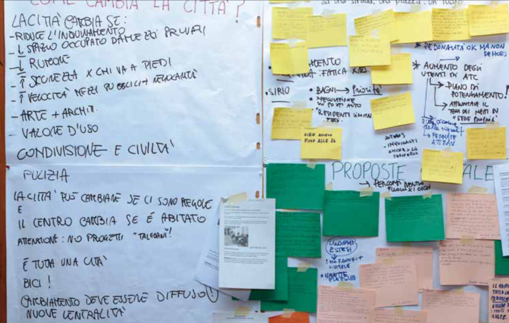
The program was initially elaborated by the Municipal Administration based on knowledge of data on usage and access data in the city center, but also on the memory and evaluation of previous measures. The program has been further developed, incorporating and verifying the suggestions and proposals that emerged from the public debate initiated after the first public presentation.
‘Di nuovo in centro‘ is ambitious, even taking into account the scarcity of resources. The planned interventions are based on the integrated use of public and private resources (for specific interventions). It introduces specific measures aimed at improving the liveability of Bologna’s city center: accessibility, rehabilitation of public spaces, enhancement of quality districts, waste collection, cycling, public transport, car sharing, electric vehicles and parking reorganization.
For each macro-theme the individual objectives are described and, where possible, the first interventions, some already implemented, others in the start-up phase.
‘Di nuovo in centro’ is actually a program for coordinating integrated policies. If the primary aim is to rediscover walking, seen as a natural condition, necessary for living well and moving around the city, the measures to achieve this are many.
First of all the quality of public space must be increased, with action being taken to improve squares, streets and gardens, while regulating their uses, both permanent and temporary. This is linked to initiatives to return to protect public space, for example by encouraging separate waste collection, and to improve those areas with a marked cultural or commercial orientation and their specific identity and function within the center.
To accomplish all this we need to reduce the impact of cars and motorbikes and encourage sustainable transport, public transport, car and bike sharing.
For more information, please refer to the publication available in both English and Italian, at: http://fondazioneinnovazioneurbana.it/images/quaderni/UCBDinuovoincentroweblinkMAGGIO%202014.pdf
Do you have data for how the modal shift has changed since the program was established?
If ‘Di Nuovo in Centro‘ represented the start of the transformation process of mobility in Bologna, the General Urban Traffic Plan (PGTU) represents the planning tool of the mobility system with a short-medium term time horizon and is expressed through measures, policies and interventions of immediate implementation in order to enhance and optimize the existing infrastructure and services or those under construction. Therefore, the actions that the TMP intends to develop and implement are feasible in a limited time frame and refer to the current infrastructure structure, or its evolution as provided by the PUMS according to the actions indicated in this plan. The territorial context of reference is the specific one of the built-up area of the Municipality of Bologna.
The previous Municipal Transport Plan has foreseen and has actually been able to implement over the last decade, a very wide and articulated series of actions aimed at obtaining important results from the point of view of greater sustainability, safety and efficiency of Bologna’s mobility system.
Thanks also to these interventions, important results have been achieved, such as:
- increased use of public transport: +21% passengers transported in the urban service of Bologna in 2017 compared to 2005;
- policies to convert the vehicle fleet to low environmental impact power sources:
- motorization rate: 53 cars per 100 inhabitants in 2017 (-4% compared to 2005);
- low-impact and zero-emission private vehicle fleet: 19.3% in 2017 vs. 5.8% in 2005;
- low-impact and electric bus fleet: 69% in 2017 vs. 38% in 2005;
- increased use of bicycles for urban travel (supported by strong growth in infrastructure and dedicated services)
- bicycle routes: 171.5 km in 2018 (up 86% from 2006);
- overall two-way average flows (track and road) measured in September-October 2018 increased 9% over those measured in 2017, 13% over 2016 flows, and 43% over 2011 flows2;
- reduction in traffic accidents over the five-year period 2012-2016: -66 accidents/year, -90 injuries/year and -2 deaths/year;
- reduction in private motorized traffic flows: -39% ztl entries -35%, from 2004 to 2015.
What were the various measures and rules implemented to improve walkability?
As an example, among the most significant actions implemented are the policies to control vehicular access to the area of the historic center and in favor of pedestrians, such as:
- the start-up of the SIRIO system, the activation of new pedestrian areas such as the University area, the launch of “T days”, etc.;
- the development of many “30 Zones” and safety measures in the main accident black spots;
- the development of the urban cycle network and, in particular, the creation of the “Bicycle Ring Road” and the creation of links with universities;
- the spread of pedal-assisted bicycles in the city, the new bike sharing service;
- the launch of new car sharing services.
Was it necessary to change or improve upon pedestrian infrastructure in the city?
Pedestrianism is an intrinsic characteristic of Bologna’s urban structure. The presence, unique in Europe, of a kilometric network of porticoed routes naturally predisposes citizens and city users to access the city by foot.
In a broad sense of the “pedestrian” quality of public space, the PGTU foresees a mix of actions ranging from sustainable mobility to urban redevelopment and furnishing, from commercial enhancement to the promotion and marketing of the area, from urban decorum and cleaning of walls, arcades and streets to a system of orientation and addressing, from toilets to waste sorting, thus considering all aspects that affect the usability and comfort of living, working and attending the historic city.
Finally, smaller and more localized interventions, but of absolutely strategic importance for pedestrianism, will help achieve the goal of usability and quality of public space, on the one hand ensuring continuity of routes for all (especially children, elderly, disabled) through the widespread removal of architectural barriers, and on the other hand, improving the image of the city thanks to the elimination of incongruous objects that are layered in a disorderly manner over time.
What measures were implemented to reduce car traffic?
Some of the measures are compatible with those implemented to encourage walking. In general, referring to the strategies:
- development of a plan of interventions to increase road safety, starting from the points of greatest criticality, for a general reduction in accidents, and for a radical decrease in those with deaths and injuries;
- continuing the implementation of interventions to control speed and misbehavior;
- protecting residential areas, school areas, both from an environmental and road safety point of view, as well as usability and overall quality;
- identification, even outside the historical center, of areas that may constitute centralities in the neighborhoods, to be connoted as areas with a prevalent pedestrian vocation;
- realization of specific interventions in proximity of school areas for the creation of protected home-school routes to be made on foot or by bicycle and for the limitation of traffic in the hours of entry and exit;
- redevelopment of public spaces, starting with the most valuable ones (squares, historic gates, areas in front of monuments), to protect pedestrians and cultural heritage, providing, where possible, in case of suppression of parking spaces for cars and motorcycles, the replacement of the same in the neighboring area;
- general revision of the classification of the road network.
“Towards a new Mobility Center
Were certain streets completely pedestrianized or mainly was traffic reduced?
In recent years, efforts have been made to incrementally decrease traffic congestion throughout the city through a series of strategies listed in the previous section.
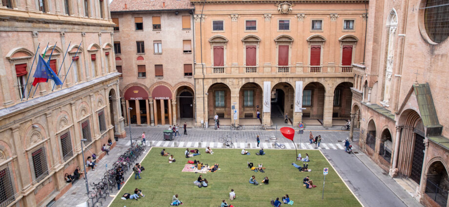
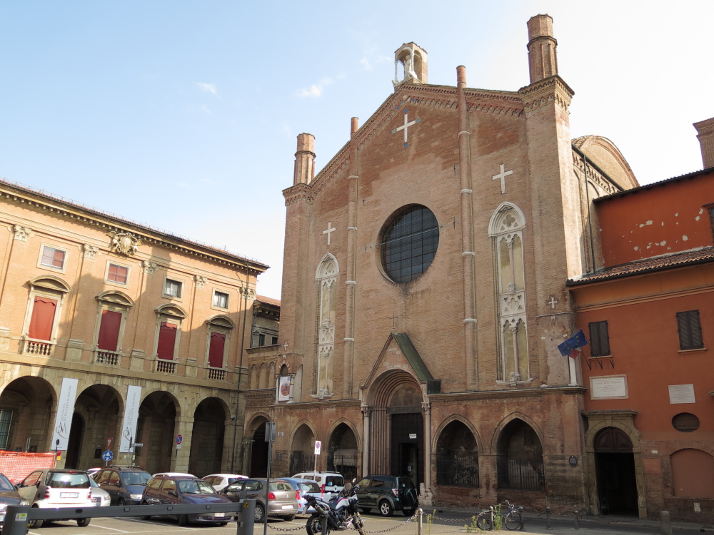
An important and successful contribution was given by the preparation of the environmental ZTL, the pedestrianization of Via delle Moline and the transformation into a public pedestrian space of a square historically used as a parking lot, and characterized by cementification and urban heat waves: Piazza Rossini.
“The transformation of Piazza Rossini to a pedestrian plaza was such a success that the Municipality of Bologna decided to make it permanent.”
This last represented one of the more successful results of the EU H2020 ROCK project. It was launched after a long listening phase when participants highlighted the importance to re-valorize Rossini Square and the surrounding space. Thanks to the work of students, associations and institutions, the Square has been covered with a green carpet and presented to the Public during a dedicated event. The transformation of Piazza Rossini to a pedestrian plaza was such a success that the Municipality of Bologna decided to make it permanent, elaborating a project of reassessment of the public space. An intervention that acquires more and more importance during the Covid and post-Covid emergency, when the discussion on the multiple roles of public space is vibrant and inserted in a wider discussion on how to make urban areas ready to respond to the current and potential, future, sanitary emergencies.
Can you share about the T-Days initiative and how this has developed over time?
‘Di nuovo in centro’ aimed to give back to pedestrians and cyclists new spaces where they can enjoy continuous paths, cleaner air, less noise, road safety and redeveloped public space. The proposed actions concerned:
> The creation of “high pedestrian” areas in the oldest and densest part of the city where only cars and bicycles can enter. In these areas pedestrians and cyclists can circulate safely.
> The creation of new, completely pedestrianized streets and squares in the city center, in areas that currently do not allow safe pedestrian access, or in places that are the subject of special cultural, cultural and social development policies.
> The regulation of access to area T (via Ugo Bassi – Rizzoli and via Indipendenza) in two stages: from Monday to Friday the circulation of the most invasive traffic is reduced, during weekends the area becomes completely pedestrianized.
> Protection of the existing pedestrian areas protected by movable bollards.
>The “T” zone, which includes the streets Ugo Bassi, Rizzoli and Indipendenza Streets, has been completely pedestrianized every weekend since May 2012 (with T Days). The new access regulation follows the rhythms of vitality of the centre:
> During the week, when the center is frequented mainly for work and service reasons, it is possible to access the T by public transport (which will be increasingly “ecological”);
> On Saturdays and Sundays, on the other hand, the T is open only to pedestrians and cyclists, to emphasize the different modes of use linked to shopping and leisure.
In order to allow access to the T for all citizens on weekends as well, numerous measures have been taken, the most significant of which concern the circulation of two new shuttle buses (shuttle T1 and T2) and the provision of more than 100 parking spaces for disabled cars in the T area.
Thanks to this design, which reconnects areas that were already pedestrianized with the T closed to traffic, the heart of the city on weekends becomes a large area of over 20,000 square meters reserved for pedestrians and cyclists. With the introduction of T Days, weekends have seen significant improvements in the acoustic climate (noise reduction of almost 5 decibels) and air quality (reduction of both nitrogen oxides and benzene) compared to working days.
We understand that one of the main challenges with implementing the program was opposition from retailers in the city center (which is often common). The retailers’ concern was that by reducing or eliminating car traffic, they would lose important customer flow?
The biggest point of conflict with retailers was their fear of seeing a drop in sales. We don’t have any data at the moment, but it is clear that the city’s historic center has benefited from a change in the people who frequent it assiduously, especially on weekends and at T-days. We have gone, in fact, from residents only to city users, with a notable increase in the flow of tourists. This is also evident from the gradual decrease in traditional places of commerce to the benefit of the offer dedicated to catering.
There has been an increase in tourism from which the entire city has benefited and which has been achieved thanks to investments in the historic center.
There is a noticeable boost of local economy during T-Days initiative too?
Yes. But what matters the most is that the reinsertion and repositioning of pedestrians and cyclists at the center of mobility policies represent the pivotal points on which specific actions must be defined, aimed at the development of conditions that allow for safe and comfortable movement, particularly in the historic city center.
It is therefore evident that the planning that is planned originates from inputs that appear external to the concept of traffic in its most traditional sense and requires the adoption of integrated, extensive and coherent strategies: mobility, environment, health, commerce and culture are equally important elements in an articulated operation of the redevelopment of the various centralities of the city.
Is there any connection between the preservation of urban heritage and Bologna’s pedestrian efforts too?
At a time of plummeting citizen participation, and when living harmoniously in the public space is fundamental for the physical, economic and social well-being of the city and its city users, Bologna stands out as a city where the boundaries between the municipality and its citizens are ever more blurred. Building upon its long-standing fame as a melting pot, a place where the exchange of ideas is an everyday practice, Bologna can yet be seen as a living research institute where initiatives to help innovative proposals sprout from the bottom and allow citizens to co-create solutions for the city’s challenges.
In this context, the city of Bologna distinguished itself for its attempt to promote culture, and its cultural heritage in particular, as an exceptional lever for economic, social but also sustainable development.
From this vision arose a successful project financed by the Horizon 2020 research and innovation program of the European Union: the ROCK Project (Regeneration and Optimization of Cultural heritage in Knowledge and creative cities), launches a new season of observation, design and experimentation in support of the project actions. The project focuses on historic city centers as extraordinary laboratories to demonstrate how Cultural Heritage can be a unique and powerful engine of regeneration, sustainable development and economic growth for the whole city.
The project recognized and strengthened the specific identity of the University area as a cultural, creative and sustainable district by improving safety, turning social conflicts into new opportunities, increasing the accessibility of the area, attracting visitors and tourists, entrepreneurs and private investments.
Was there any media or marketing component to the project as well? Such as a campaign to inform the citizens of changes and encouraging walking, cycling, use of public transport etc?
The city of Bologna, thanks to a very close relationship between the Municipality, the University and the Urban Innovation Foundation – of which the above are founding members – invests heavily in the promotion of projects aimed at transforming the city into a more resilient, sustainable, safe and livable place. Each project, therefore, has a dedicated communication campaign, often developed thanks to the stakeholders involved, including citizens. One of the most successful campaigns has allowed the Bologna Porticoes to officially become a UNESCO heritage site.
How has the pandemic affected mobility in Bologna and how might it affect future planning for mobility and public space in Bologna?
The mobility sector and, in general, pedestrianization interventions acquire more and more importance during the Covid and post-Covid emergency, when the discussion of the multiple role of public space is vibrant and inserted in a wider discussion on how to make urban areas ready to respond to the current and potential, future, sanitary emergencies.
Yet, the Covid emergency highlighted the importance to live differently in urban areas and public spaces at large, in particular those characterized for their high level of social interactions. The proximity dimension and the presence of widespread public spaces in the city contribute to an increase of city users’ life quality and a concrete answer to the necessity to guarantee an adequate social distance between people without impeding social relations.
Even before the pandemic, it was clear that there was a need to encourage and support a polycentric urban development, through an increasing decentralization of spaces and services and the development of diffuse and interconnected centers of life also on a metropolitan scale, exploiting a large space of great environmental value for an expansion of city life that is healthier, sustainable and in synergy with green and natural spaces. Introducing elements such as the strong modification of mobility and the possibility of meeting and physical presence in our cities, the pandemic further reinforces this urgency of rethinking spatial organization and infrastructure.
Therefore, if it is true that the administrative centrality of the districts plays an important role in the model of urban development of the city of Bologna today, a substantial rethinking of city planning and a stronger commitment to implementing the polycentric model is needed. In this perspective, it is a priority to re-imagine the role of public space for people’s lives, i.e. the social functions that can play the many parks and public gardens, squares, association headquarters, vacant and abandoned places, social centers and spaces and cultural spaces already manned by the city communities that can and must play a central role in the creation of community care networks: it is necessary to activate them and support them so that they offer health, relational, economic and social services increasing the resilience of the city.
Similarly, it is necessary to ensure the connection and exchange between decentralized territories in order not to replicate patterns of social divide, isolation and construction of new isolated suburbs and where the lack of infrastructure has already proven to have marginalizing consequences for the population and for the maintenance of services and relations of proximity of quality, as we could clearly see in recent months in the increased risks of exclusion in territories without digital infrastructure, health facilities, educational services